
Imagine a detective staring at a map with five red dots scattered across a city. To the untrained eye, they look random. But to a geographic profiler, those dots tell a story about where the person who made them lives. This is not magic; it is geographic profiling, a spatial analysis technique used in criminal investigations to estimate an offender's likely base of operations or residence. By analyzing the locations of connected crimes, investigators can narrow down thousands of suspects to a specific neighborhood, saving weeks of legwork and millions of dollars in resources.
What Is Geographic Profiling?
At its core, geographic profiling is a method that converts crime scene locations into a probability map. It assumes that criminals are not random wanderers but rational actors who operate within familiar territories. Most offenders commit crimes near their home, workplace, or other routine activity nodes. This concept is known as the "anchor point." The goal is to find this anchor by looking at the pattern of movement between crime scenes.
This technique emerged in the late 1980s and early 1990s, blending environmental criminology with investigative psychology. It is distinct from general crime mapping. While crime mapping shows where crimes happen in a city (hotspots), geographic profiling focuses on a single unknown offender. It asks: "Given these specific incidents committed by one person, where do they start and end their day?" The output is a color-coded grid called a geo-profile, highlighting areas with the highest statistical likelihood of containing the offender’s base.
The Core Principles: Distance Decay and Buffer Zones
To understand how the math works, you need to know two key concepts: distance decay and buffer zones. These are the psychological and behavioral rules that drive the algorithms.
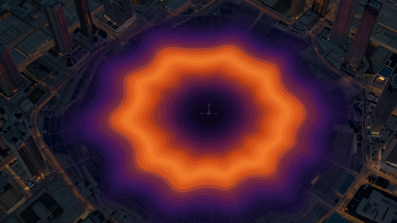
- Distance Decay: This principle states that the likelihood of a crime occurring decreases as the distance from the offender’s anchor point increases. People generally prefer to minimize travel time and effort. An offender is more likely to strike close to home than far away because familiarity reduces risk and stress.
- Buffer Zones: Surprisingly, many offenders avoid committing crimes immediately next to their homes. They create a "buffer zone" around their residence to reduce the chance of being recognized by neighbors or family. This creates a ring of low probability around the anchor point, with higher probabilities just outside that ring.
These principles are grounded in Routine Activity Theory, a criminological theory suggesting crime occurs when a motivated offender, suitable target, and absence of guardians converge in space and time. When an offender travels, they follow routes they know well. The geographic profile models this behavior, creating a surface where the peaks represent the most probable anchor points based on these spatial behaviors.
How Investigators Use Geographic Profiling
Geographic profiling is not a crystal ball. It is a decision-support tool designed for complex cases, typically involving serial offenses like murder, rape, arson, or bombing. It requires a minimum of three to five linked crimes to generate a reliable pattern. Here is how it fits into the investigative workflow:
- Data Collection: Analysts gather precise coordinates for all known crime scenes associated with the suspect series.
- Model Application: Using specialized software integrated with GIS (Geographic Information Systems), technology used to capture, store, check, and display data related to positions on Earth's surface, the system applies mathematical functions to calculate probability scores for every cell in the study area.
- Overlay Analysis: The resulting probability map is overlaid with real-world data layers such as road networks, land use, demographics, and transportation hubs. This helps identify practical search areas rather than just abstract grids.
- Suspect Prioritization: Investigators cross-reference the high-probability zones with existing suspect lists. Individuals living or working in the "hot spots" move to the top of the priority list.
In cold cases, this technique can also suggest new leads, such as potential body disposal sites or previously overlooked connections between seemingly unrelated incidents.
| Feature | Crime Mapping / Hotspot Analysis | Geographic Profiling |
|---|---|---|
| Primary Goal | Identify general crime clusters and resource allocation needs | Estimate the specific anchor point of a single unknown offender |
| Scope | Strategic (city-wide or district-wide trends) | Tactical (specific case investigation) |
| Data Input | All reported crimes in an area | Linked crimes attributed to one offender |
| Output | Heat maps showing high-crime density areas | Probability surface indicating likely offender residence/base |
| User | Patrol commanders, policy makers | Detectives, major crime units, forensic analysts |

Limitations and Risks
While powerful, geographic profiling has strict limitations. It is only as good as the assumptions behind it. If the crimes are not linked to a single offender, the model will fail. Including incidents from different perpetrators distorts the probability surface, leading investigators astray.
Additionally, the model assumes rational spatial behavior. Some offenders deliberately break patterns. They may use vehicles to travel long distances, relocate frequently, or choose crime sites specifically to mislead investigators. In these cases, the distance-decay principle weakens, and the buffer zone may disappear. Analysts must constantly evaluate whether the case fits the standard model before relying on the output.
There is also an ethical dimension. Over-reliance on probabilistic maps without corroborating evidence can lead to biased policing. If a high-probability zone overlaps with a marginalized neighborhood, there is a risk of aggressive surveillance based solely on statistical likelihood rather than individual suspicion. Therefore, geographic profiling should always be used as a supplement to traditional investigation, not a replacement.
The Future of Spatial Analysis in Policing
As technology advances, geographic profiling is becoming more sophisticated. Modern tools integrate Bayesian analysis and machine learning to refine accuracy. Researchers funded by organizations like the National Institute of Justice (NIJ) are developing new mathematical approaches to better account for urban street networks and transportation barriers. Instead of assuming straight-line travel, newer models consider actual driving routes and public transit lines.
Furthermore, geographic profiling is increasingly being combined with other intelligence sources. Link analysis, social network data, and forensic databases are being merged with spatial models to create a holistic view of the offender. This integration allows for faster, more precise investigations, turning scattered clues into actionable intelligence. For law enforcement agencies, mastering this tool means moving from reactive policing to proactive, data-driven problem solving.
How many crimes are needed for geographic profiling to work?
Generally, a minimum of three to five linked crimes is required to establish a reliable spatial pattern. Fewer incidents provide insufficient data to distinguish between random variation and true behavioral tendencies, making the resulting probability map less accurate.
Can geographic profiling predict future crimes?
Indirectly, yes. By identifying the offender’s anchor point and comfort zone, investigators can anticipate where the offender might hunt next. However, its primary function is locating the offender’s base, not predicting the exact time or location of the next incident.
Is geographic profiling admissible in court?
Geographic profiling itself is rarely presented as direct evidence in court. Instead, it is an investigative tool used to guide police work. However, the leads generated by the profile-such as finding a suspect in the predicted area-can lead to physical evidence that is admissible.
What is the difference between geographic profiling and predictive policing?
Predictive policing aims to forecast where crimes are likely to occur in general to allocate patrol resources. Geographic profiling focuses on a specific, known series of crimes committed by one offender to find their personal base of operations. One is strategic and broad; the other is tactical and specific.
Does the offender always live in the high-probability zone?
Not always. The anchor point could be a workplace, a favorite park, a highway exit, or a temporary residence. The profile identifies the "base of operations," which is the place the offender uses to launch their crimes, not necessarily their permanent home address.