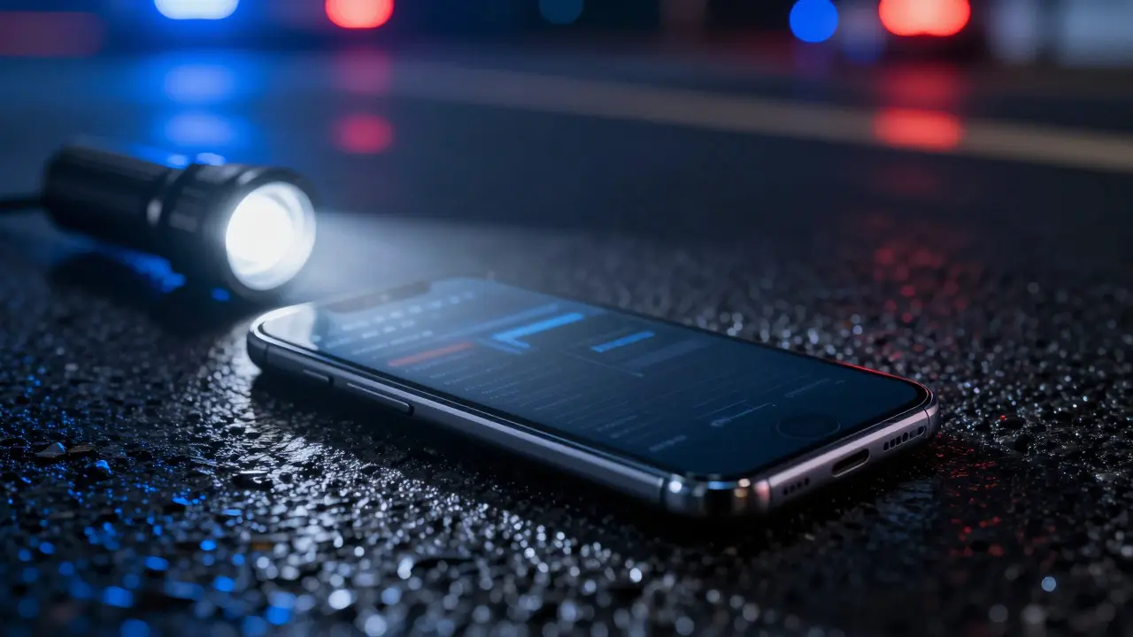
You’ve probably seen a crime scene photo where a phone is lying face-up on the asphalt. But what’s really sitting inside that device isn’t just a picture of a suspect; it’s a timeline of where they were, who they talked to, and how fast they moved. Geolocation evidence is digital data that pinpoints a person or object’s physical location at specific times using satellite signals or network infrastructure. It has become one of the most contested yet powerful tools in modern investigations. But here’s the catch: raw coordinates are meaningless without context. A dot on a map doesn’t tell you if someone was driving, walking, or holding their phone in a pocket. That’s why interpreting this data requires more than just opening a mapping app.
Key Takeaways
- GPS data offers high precision (3-5 meters) but depends on clear sky visibility and active device power.
- Cell-site data provides broad coverage and works even when GPS is off, but accuracy varies wildly from 50 meters in cities to kilometers in rural areas.
- The two technologies complement each other; relying on only one creates blind spots in an investigation.
- Court admissibility hinges on chain of custody and expert explanation of error margins, not just the existence of the data.
- Modern smartphones fuse multiple sensors (Wi-Fi, Bluetooth, barometer) to create "hybrid" location fixes that are harder to interpret than pure GPS.
How GPS Forensics Actually Works
Global Positioning System technology relies on a constellation of satellites orbiting Earth. Your phone calculates its position by measuring the time it takes for signals to travel from at least four satellites. This triangulation method yields a latitude, longitude, altitude, and timestamp. In forensic terms, this is gold because it’s objective. Unlike witness testimony, a GPS log doesn’t lie about where the phone was-provided the phone wasn’t turned off, didn’t lose battery, or wasn’t in a deep basement with no signal.
However, GPS has limitations. Urban canyons created by tall buildings can reflect signals, causing "multipath errors" that push your location fix off by tens of meters. If you’re investigating a hit-and-run on a highway, a 20-meter error might place the car in the wrong lane entirely. Forensic analysts often look for "velocity vectors" alongside position. If the GPS shows a device moving at 60 mph in a residential zone, you know something is wrong-either the sensor glitched, or the device was mounted on a vehicle that wasn’t following traffic rules.
Decoding Cell-Site Data
When GPS fails, investigators turn to cellular networks. Every mobile phone constantly pings nearby cell towers to maintain connection. These pings record which tower served the device and at what time. The problem? Accuracy is inconsistent. In dense urban centers like downtown Seattle or New York City, small cells (picocells and femtocells) can narrow down a location to within 10-50 meters. Out in the countryside, a single macro tower might cover a radius of several miles. So, a cell-site ping in rural Oregon could mean the phone was anywhere within a 5-mile circle.
Analysts use this data to build "sector sweeps." By looking at which towers a phone connected to over a 24-hour period, they can trace a path. For example, if a phone moves from Tower A to Tower B in exactly 15 minutes, and those towers are 10 miles apart, the device must have traveled at least 40 mph average speed. This helps corroborate alibis or expose false statements. But remember, cell-site data proves *proximity*, not exact presence. It tells you the phone was *near* the tower, not necessarily at the address associated with that tower.

Comparing GPS and Cell-Site Reliability
To understand when to trust which source, let’s look at the hard numbers. The table below breaks down the key differences between these two primary sources of geolocation evidence.
| Feature | GPS (Global Positioning System) | Cell-Site (Cellular Network) |
|---|---|---|
| Typical Accuracy | 3-5 meters (open sky) | 10-50 meters (urban) / 1km+ (rural) |
| Power Requirement | Device must be on & GPS enabled | Device must be on & network registered |
| Data Source | Satellite constellations | Carrier base stations |
| Best Use Case | Tracking movement paths, speed verification | Establishing general area presence, dead-zone coverage |
| Common Error Sources | Multipath reflection, atmospheric delay | Tower height, terrain blockage, handover timing |
Notice how the "Best Use Case" differs. GPS is your go-to for reconstructing a drive. Cell-site data is better for proving someone was in a general region when they claimed to be elsewhere. In court, experts often present both side-by-side. If the GPS says the car was on Main Street, and the cell-site data shows the phone connected to a tower covering Main Street, the correlation strengthens the case significantly.
Hybrid Location Fixes and Sensor Fusion
Modern smartphones don’t rely on just one method. They use "sensor fusion," combining GPS, Wi-Fi hotspot locations, Bluetooth beacons, and even barometric pressure changes to determine position. This is great for user experience but tricky for forensics. A "Wi-Fi fix" might place a phone in a coffee shop based on a known router, but if that router was moved or the database is outdated, the location is wrong. Analysts must identify the *source* of each location fix. Most forensic extraction tools label these as "GPS," "Network," or "Hybrid." Always check the metadata. If a fix is labeled "Network" but the accuracy is listed as 2 meters, be skeptical-it’s likely a cached value or a mislabeled hybrid fix.
Challenges in Court: Admissibility and Error Margins
Having the data is only half the battle. Getting it admitted into evidence is the real hurdle. Defense attorneys often attack geolocation evidence by questioning its reliability. They ask: How accurate is it? Was the device tampered with? Did the analyst account for error margins? To counter this, investigators must document the "chain of custody" rigorously. From the moment the phone is seized to the moment it’s analyzed, every transfer must be logged. More importantly, experts must explain *why* the data is reliable. For instance, if presenting GPS data, the expert should state the horizontal dilution of precision (HDOP) values. An HDOP under 2 indicates good satellite geometry and higher confidence. If the HDOP is 10 or higher, the data is less reliable and should be treated with caution.
Practical Steps for Analysts
If you’re handling a case involving location data, follow these steps to ensure your findings hold up:
- Extract raw data first: Don’t rely solely on visual maps. Pull the raw logs (e.g., SQLite databases from Android or plist files from iOS) to verify timestamps and coordinates.
- Correlate with external events: Check weather reports for rain (which can affect GPS) or construction zones (which might block cell signals).
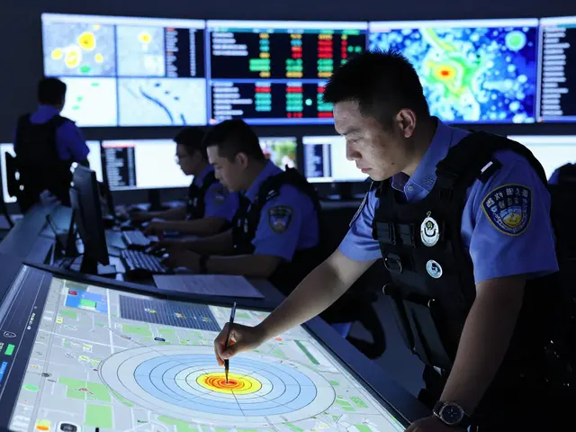
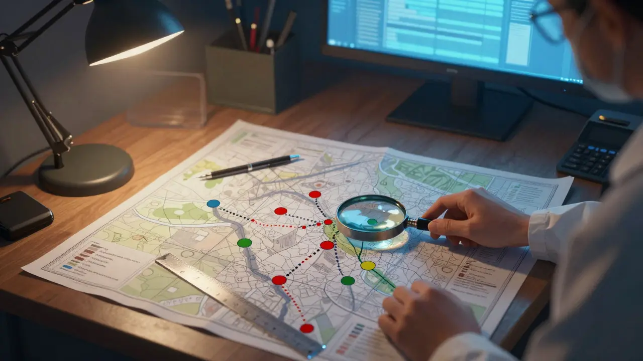
- Map the uncertainty: Instead of plotting a single dot, plot circles representing the error margin. Show the jury that the phone was *within* this area, not necessarily at this exact point.
- Document gaps: If there’s a 2-hour gap in GPS data, note it. Was the phone off? In airplane mode? Explain the gap rather than ignoring it.
Frequently Asked Questions
Can geolocation evidence prove someone was at a specific address?
It can strongly suggest it, but rarely prove it with 100% certainty due to error margins. GPS can place a device within 3-5 meters of a coordinate, which might align with a driveway. Cell-site data is broader, placing the device within a sector. To prove presence at a specific address, you need corroboration, such as video footage or witness testimony, alongside the location data.
What happens if a phone is in airplane mode?
In airplane mode, both GPS and cellular radios typically turn off, creating a gap in location data. However, if the user manually re-enables Wi-Fi, some phones may still generate location fixes based on known Wi-Fi hotspots. Forensic analysts look for these intermittent fixes to bridge gaps in the timeline.
Is GPS data considered direct evidence?
Generally, it is considered circumstantial evidence. It places the device near a location, but since people carry phones, it doesn't directly prove the person was there unless the phone was found on the scene or the person had no other way to be there. Expert testimony is required to explain the significance of the data to the jury.
How long does GPS data stay on a phone?
It depends on the OS and apps. Native navigation apps may store history for weeks or months. Third-party fitness apps might keep logs indefinitely until deleted. Raw system logs often overwrite old data after a few days. Therefore, early extraction is critical to preserve the full timeline.
Do smartwatches provide useful geolocation evidence?
Yes. Smartwatches often have independent GPS chips and store activity logs separately from the paired phone. If a suspect claims they left their phone at home but wore a watch, the watch data can contradict that statement. Analysts should always check wearable devices alongside smartphones.