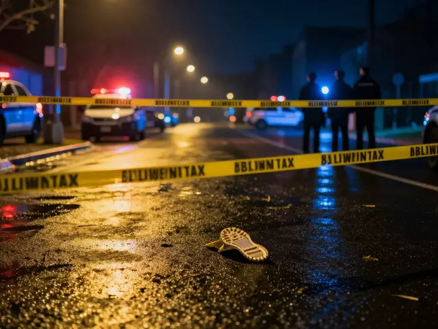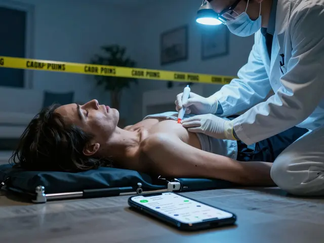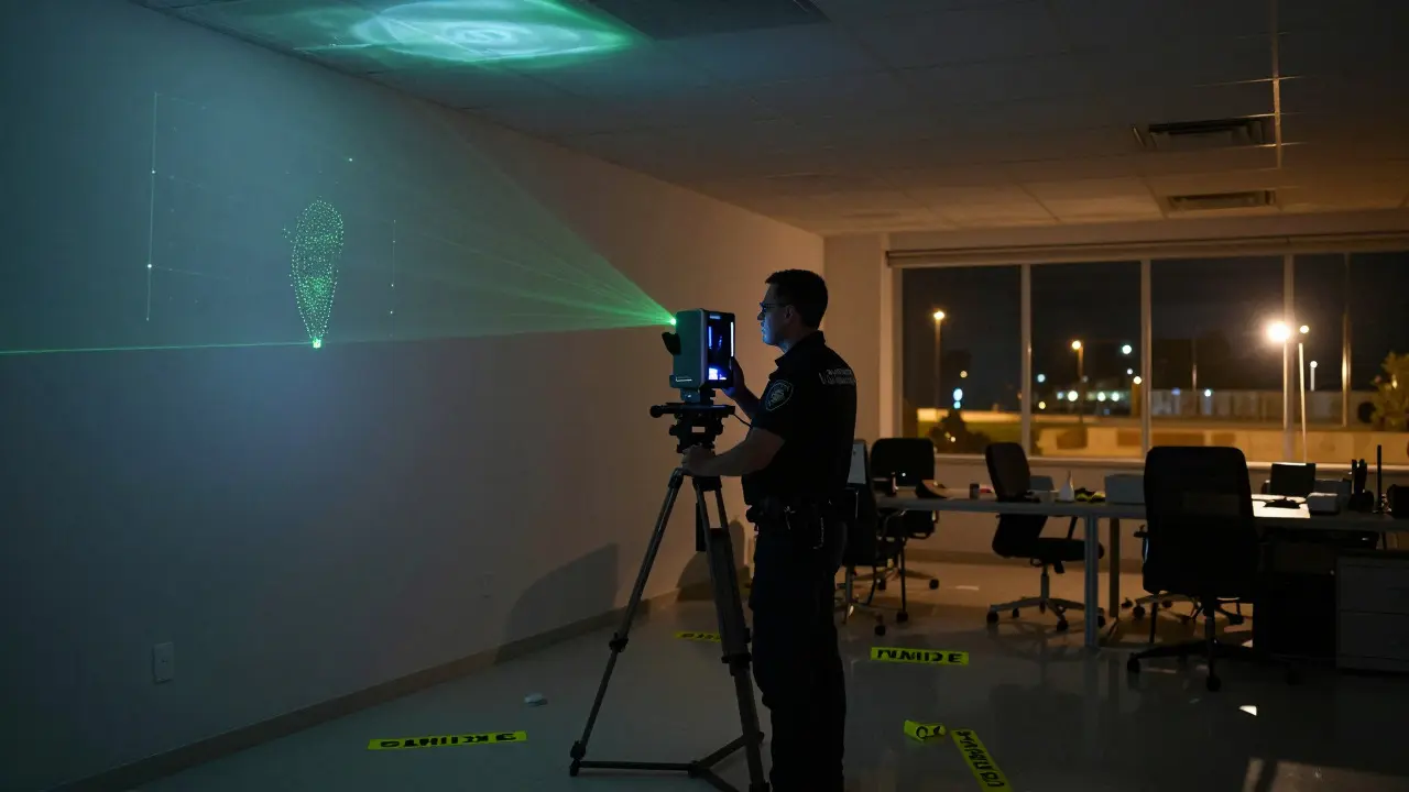
Imagine walking into a crime scene where every object has been moved, or a car accident site that was cleared by rain an hour ago. In the past, investigators relied on two-dimensional photos and hand-drawn sketches to piece together what happened. Today, 3-D photography is a technology that captures spatial data from physical environments to create accurate digital twins. This isn't just about taking pretty pictures; it's about preserving the geometry of a space so you can measure distances, analyze trajectories, and replay events with millimeter-level precision.
The core value here is immutability. Once a scene is captured in 3D, the data doesn't change. You can zoom in, rotate the view, and measure from your office six months later without disturbing the original evidence. For professionals in forensics and safety investigation, this shift from static images to dynamic models has changed how we verify facts.
How 3-D Scene Capture Actually Works
There are two main ways to build these digital models: active scanning and passive photogrammetry. They serve different purposes, and choosing the right one depends on the environment.
- LiDAR (Light Detection and Ranging): This method uses lasers to measure distance. A scanner emits laser pulses and calculates how long they take to bounce back. It’s fast and works well in low light, but it requires line-of-sight. If a wall blocks the laser, you get a gap in the data.
- Photogrammetry: This relies on cameras. You take hundreds of overlapping photos from different angles. Software then identifies common points across these images to calculate depth. It captures color and texture beautifully but takes longer to process and requires good lighting.
In modern workflows, we often combine both. LiDAR provides the structural skeleton, while photogrammetry adds the skin. This hybrid approach ensures you have both accurate measurements and visual context.
The Role of Spatial Data in Investigation
Why go through the trouble of building a 3D model when a photo looks fine? The answer lies in measurement and perspective. A 2D photo flattens space, making it hard to judge depth or angle. A 3D model preserves the Z-axis (height) alongside X and Y coordinates.
- Distance Verification: You can measure the exact distance between a tire mark and a guardrail without standing at the scene again.
- Trajectory Analysis: Ballistic experts use 3D models to trace bullet paths through walls, accounting for ricochets and material density.
- Scale Context: Viewers can walk through the virtual scene to understand the scale of a room or the proximity of objects, which is crucial for witness testimony validation.
This level of detail turns subjective opinions into objective data. Instead of saying "the car was close to the pole," you can state "the front bumper was 14.2 inches from the pole base."
Hardware and Software Ecosystem
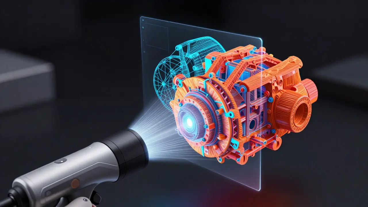
The tools available today range from handheld scanners costing under $500 to enterprise-grade systems priced in the tens of thousands. The key is understanding the trade-offs between portability, accuracy, and processing power.
| Technology | Average Accuracy | Capture Time (Small Room) | Best Use Case |
|---|---|---|---|
| Structured Light Scanner | 0.1 mm | 5-10 minutes | Small objects, facial recognition |
| Terrestrial LiDAR | 1-3 mm | 15-30 minutes | Crime scenes, large interiors |
| Mobile Photogrammetry | 5-10 mm | 20-40 minutes | Outdoor accidents, rapid response |
Software is equally critical. Raw point clouds are useless without processing. Programs like RealityCapture or Agisoft Metashape stitch images together, while specialized forensic software allows for annotation, measurement, and export to standard formats like OBJ or FBX. The goal is interoperability-your model should open easily in CAD programs, VR headsets, or court presentation software.
Challenges in Real-World Deployment
Despite the benefits, 3D photography isn't magic. Several hurdles remain for field operators.
- Reflective Surfaces: Glass, polished metal, and wet pavement confuse LiDAR sensors, causing missing data or noise. Operators must use matte sprays or multiple capture angles to mitigate this.
- Moving Objects: People, pets, or traffic introduce errors. Best practice is to clear the scene or mask out moving elements during post-processing.
- Data Volume: A single high-resolution scan can generate gigabytes of data. Storage and transfer speeds become a bottleneck in remote locations with poor connectivity.
Training is also a factor. Capturing a clean dataset requires technique. Overlapping shots, consistent lighting, and stable positioning are skills that take time to master. Many organizations now include 3D capture certification in their standard training curricula.
Future Trends and Integration
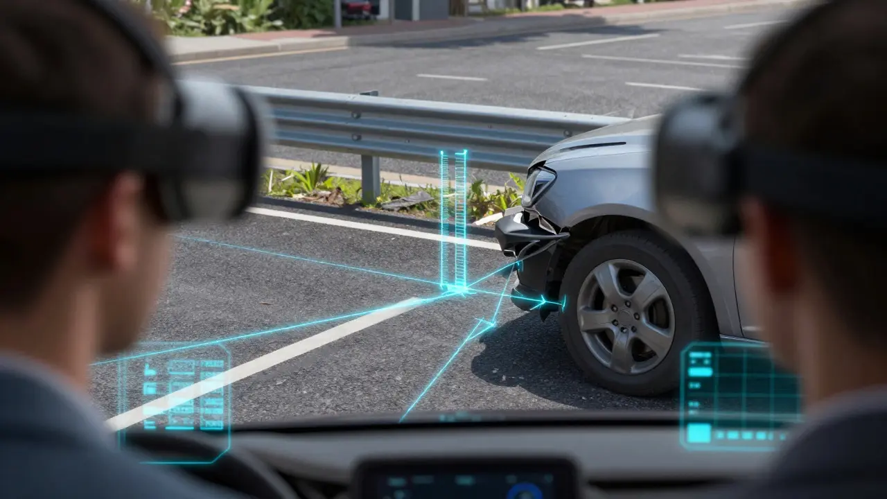
The next frontier is real-time processing. As mobile chips get more powerful, smartphones will soon be able to reconstruct scenes instantly without needing a cloud server. This democratizes the technology, allowing any investigator to create a basic 3D record on-site. Additionally, integration with Augmented Reality (AR) is gaining traction. Imagine putting on AR glasses at a reconstruction meeting and seeing the digital overlay of the accident scene projected onto the actual location. This helps juries and stakeholders visualize the event in its original context, reducing cognitive load and improving comprehension.
As these technologies mature, the barrier to entry drops. What was once a niche tool for major federal agencies is becoming standard equipment for local police departments and insurance adjusters. The result is a more standardized, data-driven approach to fact-finding across industries.